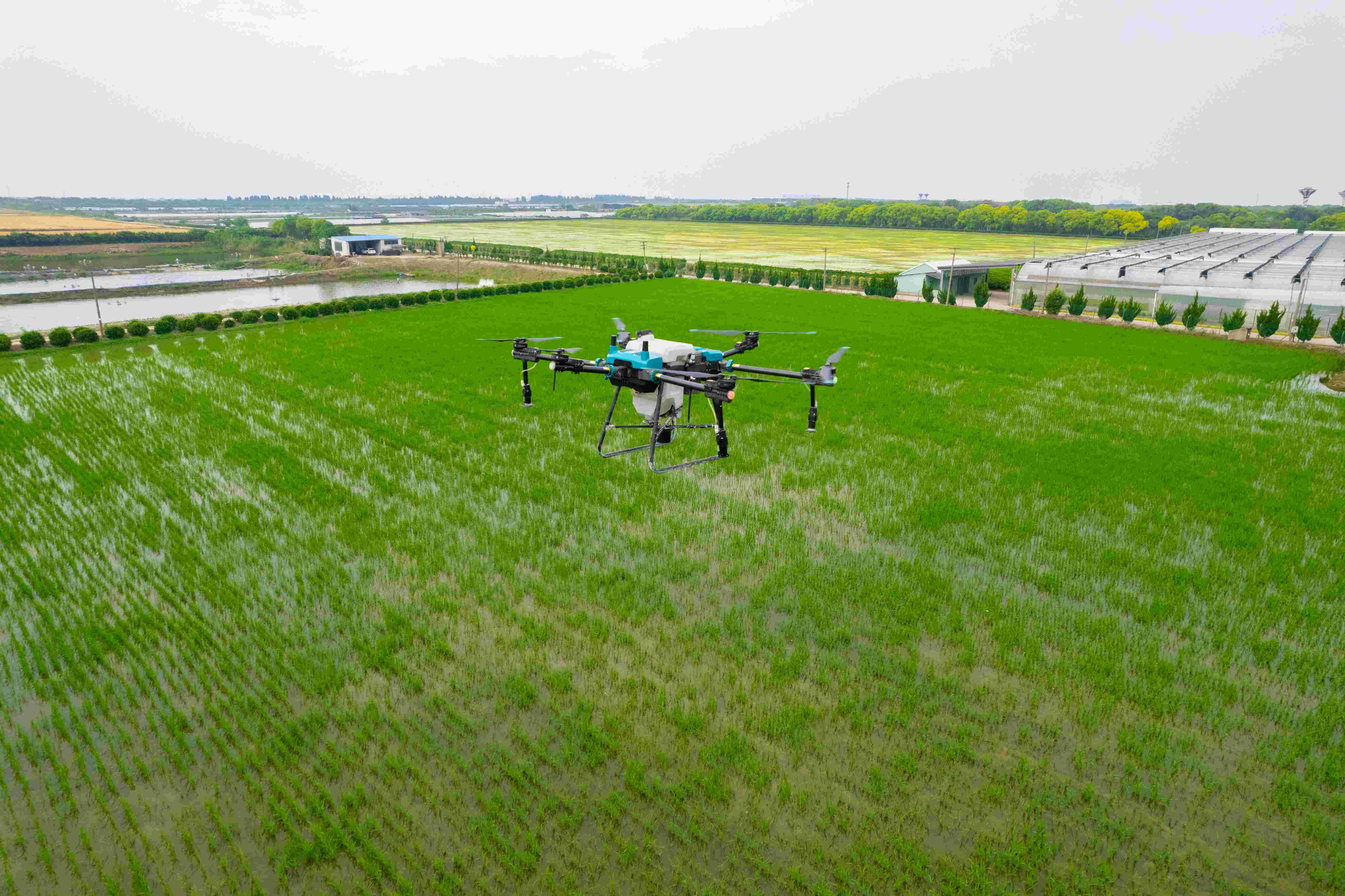
With many advantages such as high efficiency, more economical, safer, and not restricted by terrain, agricultural drones for fruit tree flight control are being accepted by more and more orchard owners and becoming an increasingly common application scenario for new farmers.

01 Inspection before mountainous plant protection operations
In order to ensure flight safety, please perform 4-step inspection actions before plant protection operations in mountain orchards.
First, ensure that the operator has obtained valid certificates and is in a good mental state. According to the requirements of the country's "Interim Regulations on the Management of Unmanned Aircraft Flights", operators must hold an agricultural unmanned aircraft operation certificate before they can engage in aerial plant protection activities.
Then, select the take-off and landing points, check whether the appearance of the agricultural drone (arms, blades) is damaged,Gfrp Agricultural Sprayer and ensure the normal operation of various systems (six major systems such as communication, positioning, battery, task execution, power, and perception)
02 Mountain land mass surveying and mapping
Mountain orchards have steep slopes and complex terrain, making it difficult to visually see obstacles. If agricultural drones want to operate efficiently and safely, they cannot do without the support of three-dimensional high-precision maps. We can quickly obtain it through Ruitu and remote sensing drones. Users who do not have aerial survey equipment can also make an appointment for on-site surveying and mapping services by engineers through the JITIAN Farm Service App" - [Digital Farm Service".
Surveying and mapping using the Ruitu system requires good light, and it is best to choose sunny weather. 30L Agriculture Drone Only after confirming that there are no high-voltage lines, high-voltage towers and other obstacles within 30 meters of the aerial survey area can the aerial survey be carried out normally. Using remote sensing drones for aerial survey also requires good light conditions. Agriculture Sprayer Fertilizer Drone Do not choose takeoff and landing points near high-voltage power lines.
03 Mountain land plot planning
With the three-dimensional high-precision map, we can let the unmanned aircraft operate according to our ideas in the designated area.
First, open the "JITIAN Agricultural Services App", select the plots that require work and have high-precision maps, and plan the plot boundaries. Divide the plot into multiple small plots of about 5 acres, which can reduce the aircraft's climbing and is more energy-saving and efficient. At the same time, obstacles and no-spray zones are marked in the plot, and the plot information is saved so that it can be directly called up for the next operation.